I have seen a huge increase in the use of aerial photography in presentations. Of course this is from the availability of services such as Google Earth, Microsoft VE and others.
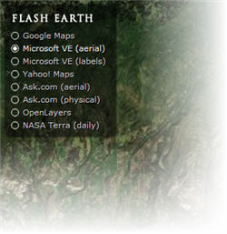
Here is a great website that lets you find a spot on earth and then move between a number of online mapping systems to see how each looks. Check out Flash Earth by clicking here.
– Troy @ TLC